


Latest Version
Version
Latest
Latest
Update
June 23, 2026
June 23, 2026
Developer
AppFlows
AppFlows
Categories
Platforms
Android
Android
Downloads
0
0
License
Free
Free
Package Name
com.geokit
com.geokit
Report
Report a Problem
Report a Problem
More About GeoKit: Geology Toolkit
GIS DATA EXPORT
• Export to KML, GeoJSON, CSV
• Compatible with QGIS, ArcGIS, Google Earth
• Share field data with your team
OFFLINE CAPABLE
• Works without internet in remote field locations
• Offline map downloads
• Local data storage with cloud sync
Whether you're conducting a geological survey, mapping outcrops in the field, or studying rock formations, GeoKit provides every tool a field geologist needs in one app.
Rate the App
Add Comment & Review
User Reviews
Based on 0 reviews
No reviews added yet.
Comments will not be approved to be posted if they are SPAM, abusive, off-topic, use profanity, contain a personal attack, or promote hate of any kind.
More »

Popular Apps
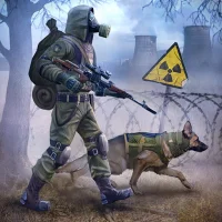
Dawn of Zombies: Survival GameRoyal Ark

Network Data SubIsah

Tank Force: War games of BlitzXDEVS LTD

Grim Soul: Dark Survival RPGBrickworks Games Ltd

WhatsApp MessengerWhatsApp LLC
Kaspersky: VPN & AntivirusKaspersky ME

NordVPN – fast VPN for privacyNord Security

Kaspersky Fast Secure VPNKaspersky ME
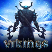
Vikings: War of ClansPlarium LLC

Turbo VPN - Secure VPN ProxyInnovative Connecting
More »
Editor's Choice
Grim Soul: Dark Survival RPGBrickworks Games Ltd

Craft of Survival - Gladiators101XP LIMITED

Last Shelter: SurvivalLong Tech Network Limited
Dawn of Zombies: Survival GameRoyal Ark

Merge Survival : WastelandStickyHands Inc.

AoD Vikings: Valhalla GameRoboBot Studio

Viking Clan: RagnarokKano Games
Vikings: War of ClansPlarium LLC

Asphalt 9: LegendsGameloft SE

Modern Tanks: War Tank GamesXDEVS LTD